01 · Southern Norway · 15 places
Lindesnes
330 places
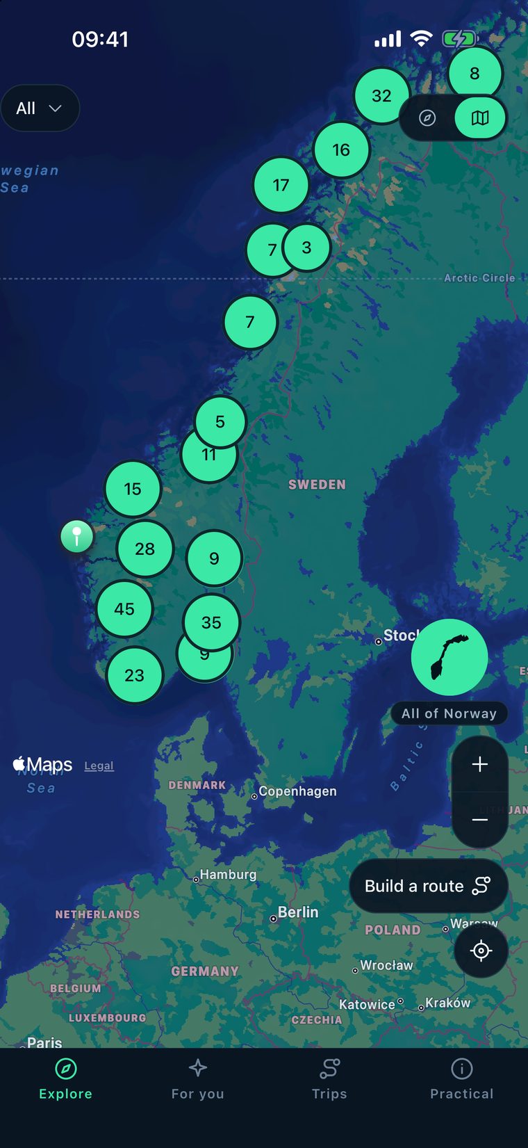
The guidebook starts here in the south and runs all the way to Svalbard in the north.
 Vegvisir
Norway · Lindesnes to Svalbard
Vegvisir
Norway · Lindesnes to Svalbard
Vegvisir keeps the whole guidebook on your phone, so it works without a signal: 330 places, real driving times, a trip planner and 23 practical guides.
In Vegvisir the places, the map pins and routes, the planner and the practical guides are already on your phone. Ask a local, the AI feature, needs a connection.
Briksdalsbreen to Nigardsbreen, in a straight line.
By road. About three and a half hours.
In Norway a straight line is not an approximation. It is wrong, because there is usually a fjord or a mountain in the way. So Vegvisir measured 16,686 routes between its places on real roads, with OpenStreetMap data.
Follow the route north. Every stop shows one thing the app knows before you get there.
01 · Southern Norway · 15 places
330 places
The guidebook starts here in the south and runs all the way to Svalbard in the north.

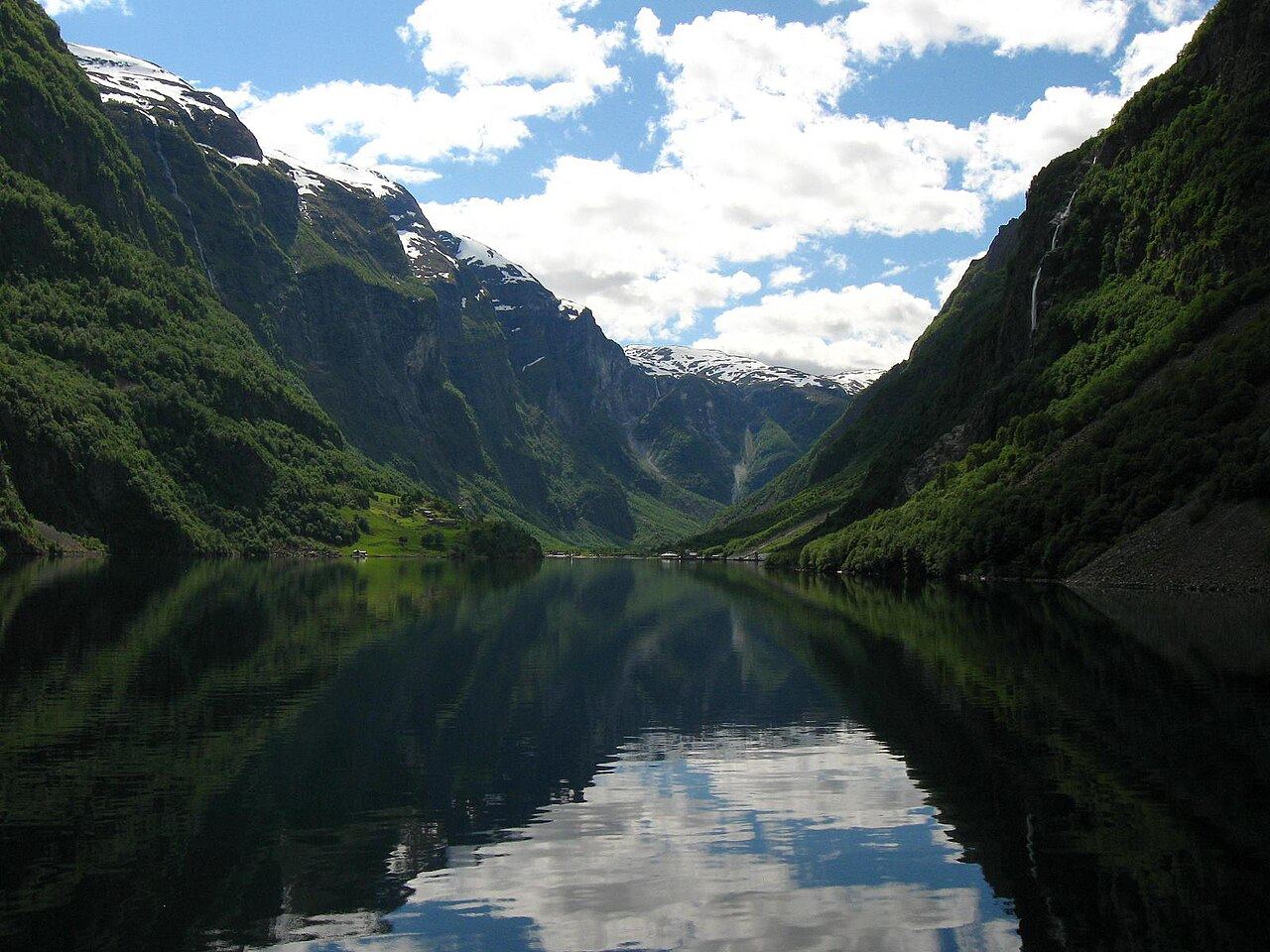
02 · Fjord Norway · 65 places
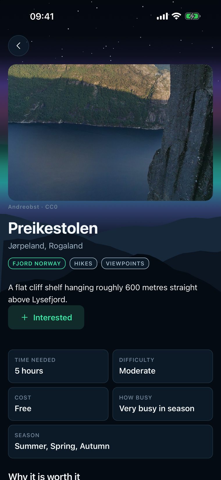
Preikestolen and Kjeragbolten are 24 km apart in a straight line. In Norway there is usually a fjord or a mountain in the way, so the app uses the road.
03 · Fjord Norway
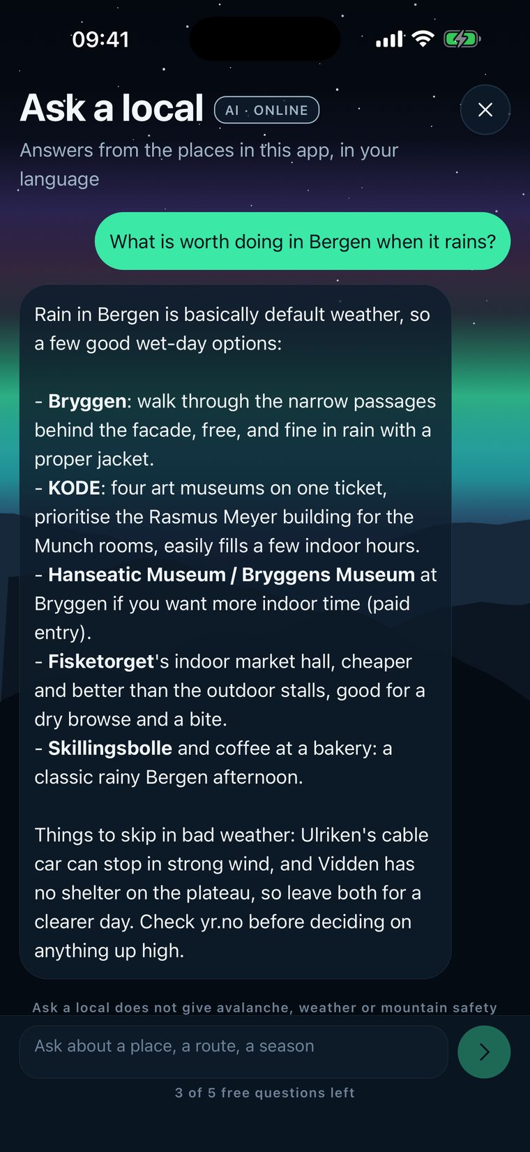
What is worth doing in Bergen when it rains?
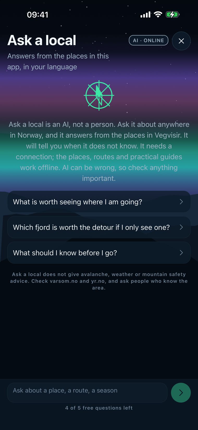
Ask a local is the AI in the app. It answers from the places in Vegvisir, in your language, when you have a connection.
04 · Eastern Norway · 84 places
From mid-June
Besseggen depends on a boat that runs from mid-June. The app says so, instead of letting you plan a day that cannot happen.

05 · Fjord Norway
Closed in winter. Every place in the app shows its season, so you know before you set off.
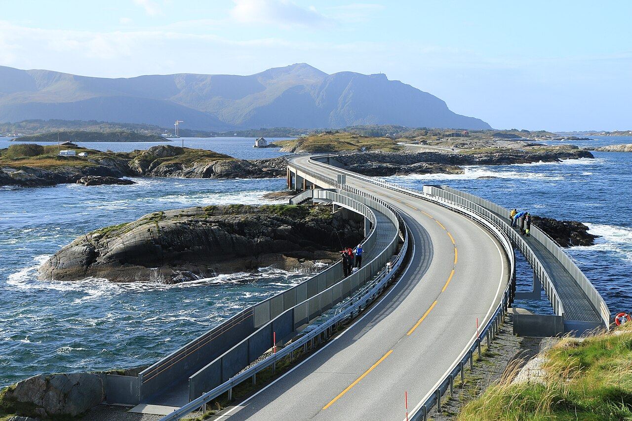
One of 24 scenic roads06 · Central Norway · 18 places
Every place has the same four things:

07 · Northern Norway · 135 places
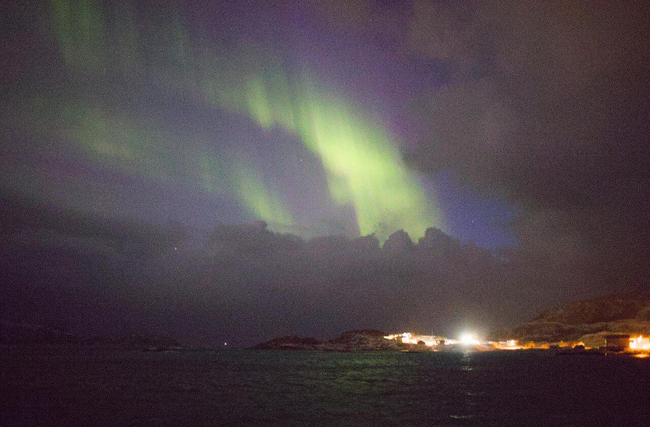
Lofoten and the north in a week is one of five ready-made routes in the app. So is a northern lights week.

08 · Northern Norway
Every hike shows how hard it is and how long it takes. There are 47 of them in the guidebook.

09 · Northern Norway
Winter driving, dressing for a Norwegian winter, the weather as the real danger. 23 practical guides, readable without a signal.
10 · Northern Norway
Works offline
Places, map pins, routes, the planner, the practical guides and the emergency numbers all work offline. Ask a local, the AI feature, needs a connection, and the app tells you before you tap it.
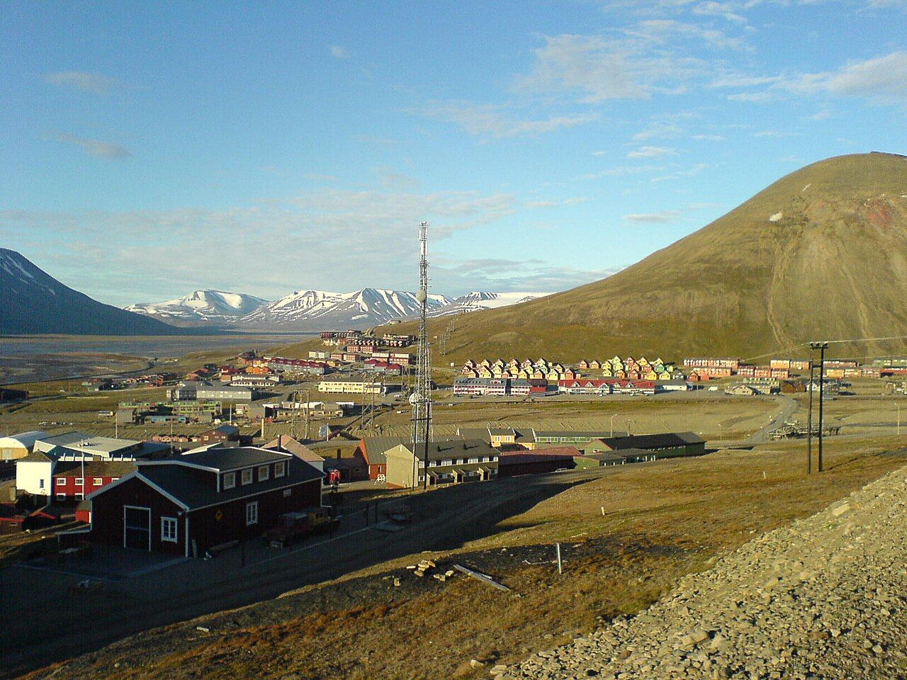
11 · Svalbard · 13 places
330
The last 13 places in the guidebook. That makes 330, from Lindesnes all the way up here.
The places, the seasons and the real roads from that route are all in Vegvisir. And the guidebook is free.
Every place has the same four things: what it is, why it is worth the trip, what to know before you go, and how to actually get there.
Each also shows the season, the time it needs, the difficulty for hikes, the cost level and how busy it gets.
A place can be in more than one category.
Each one with its season, the time it needs and how to get there.

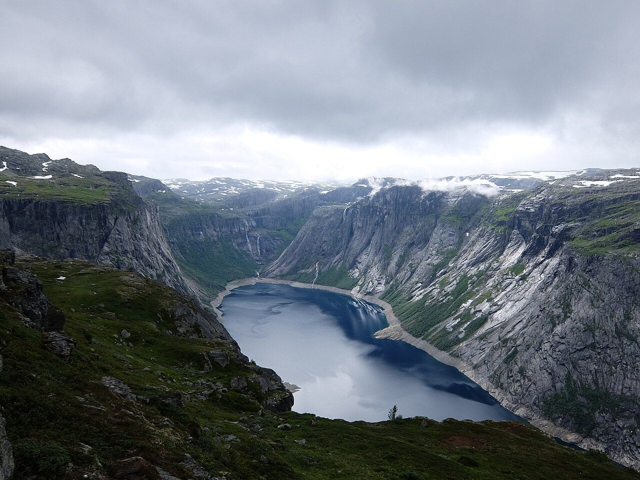
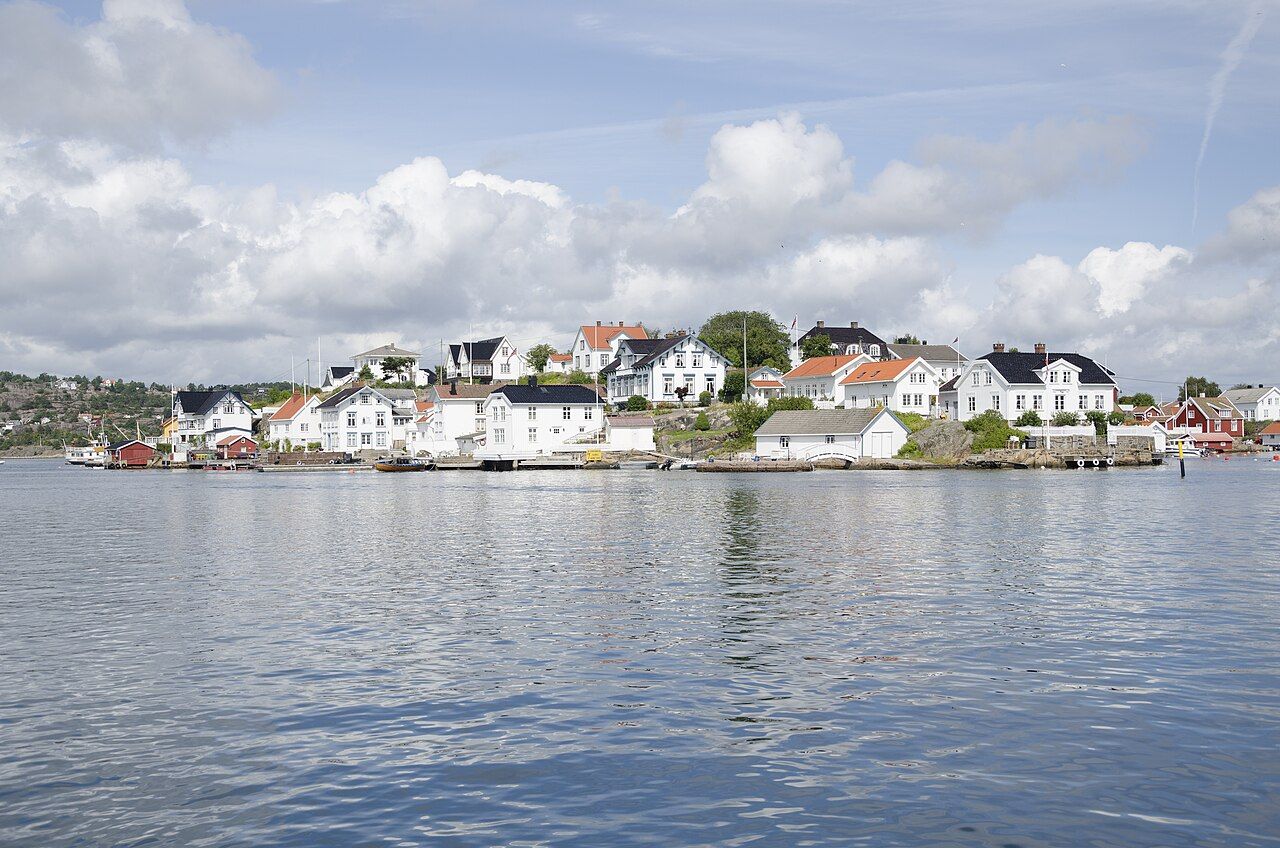

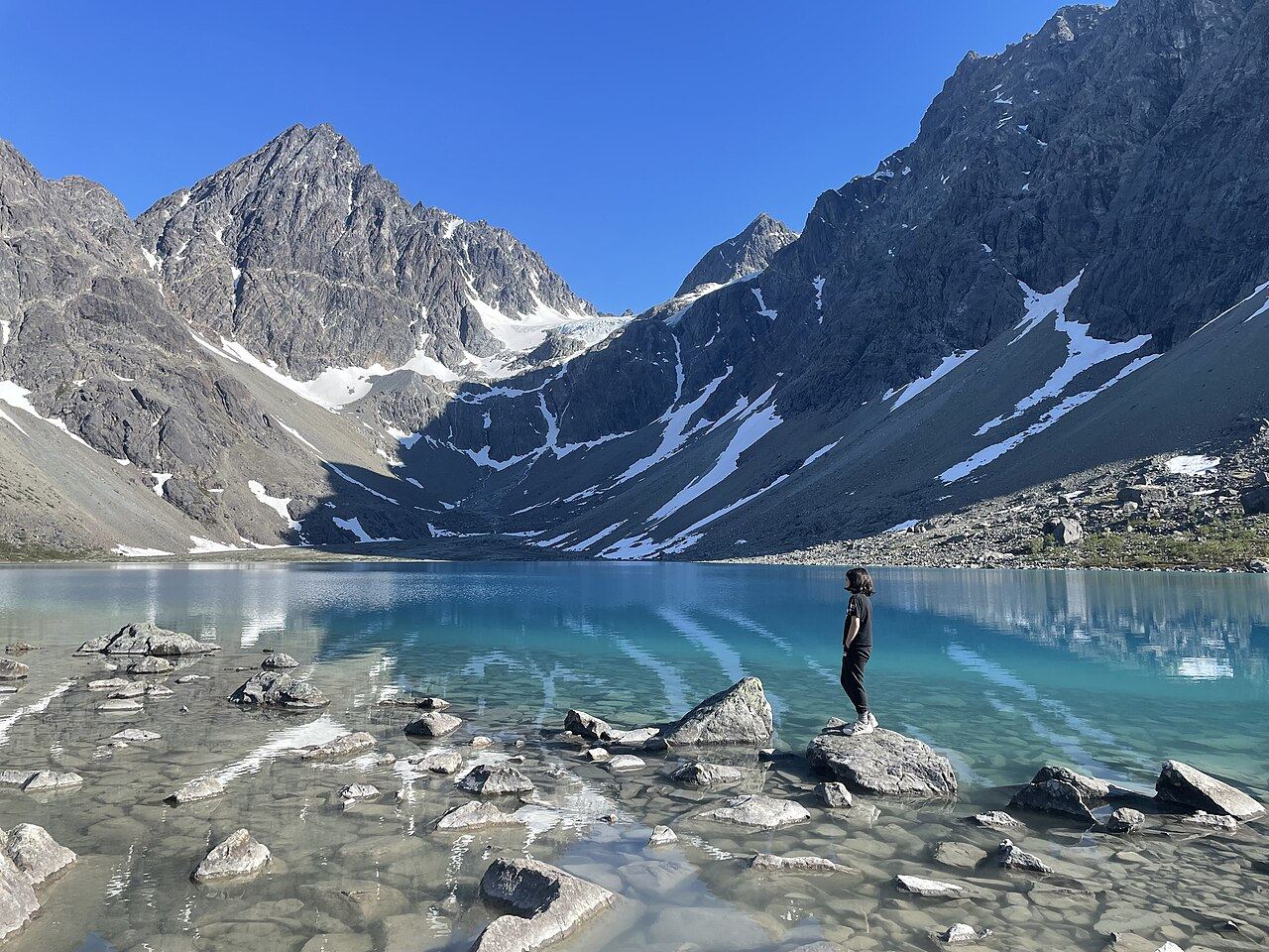
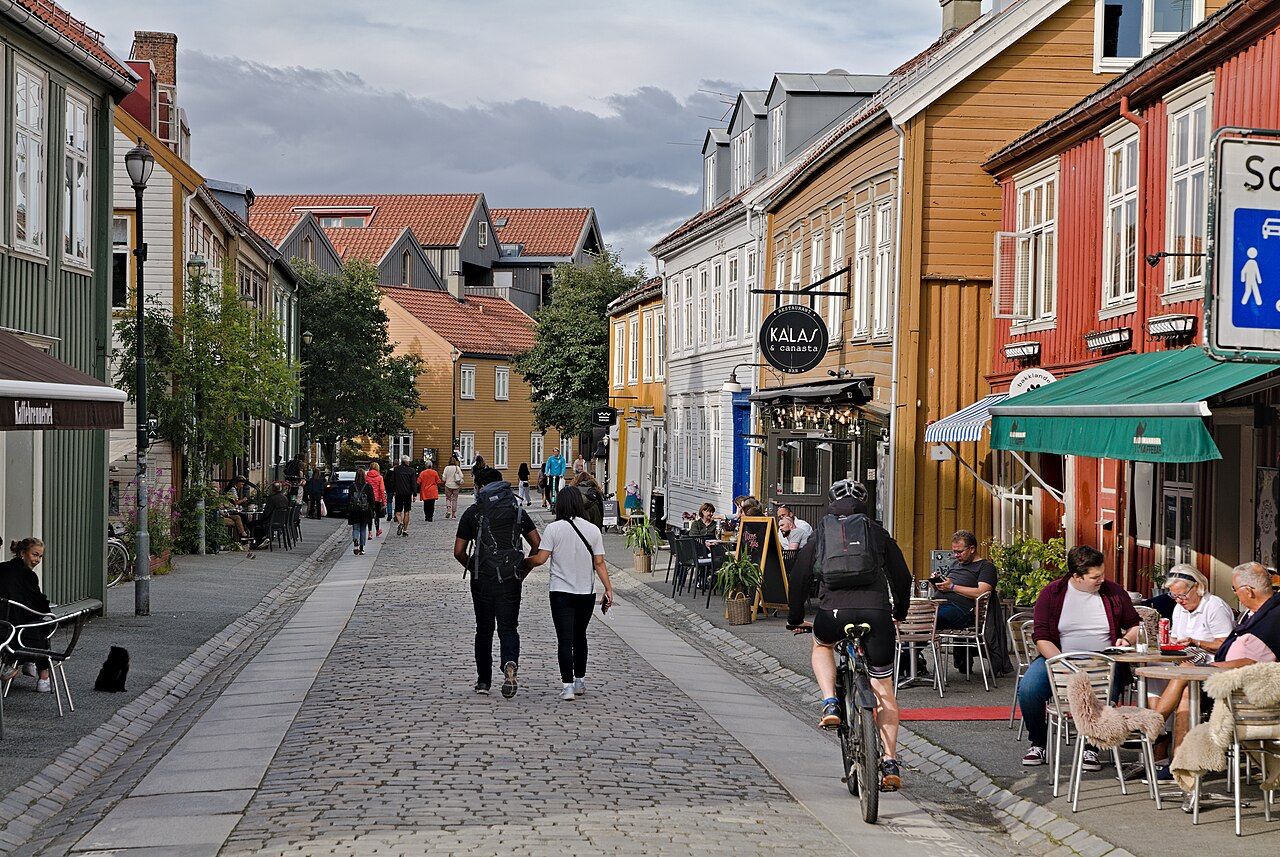

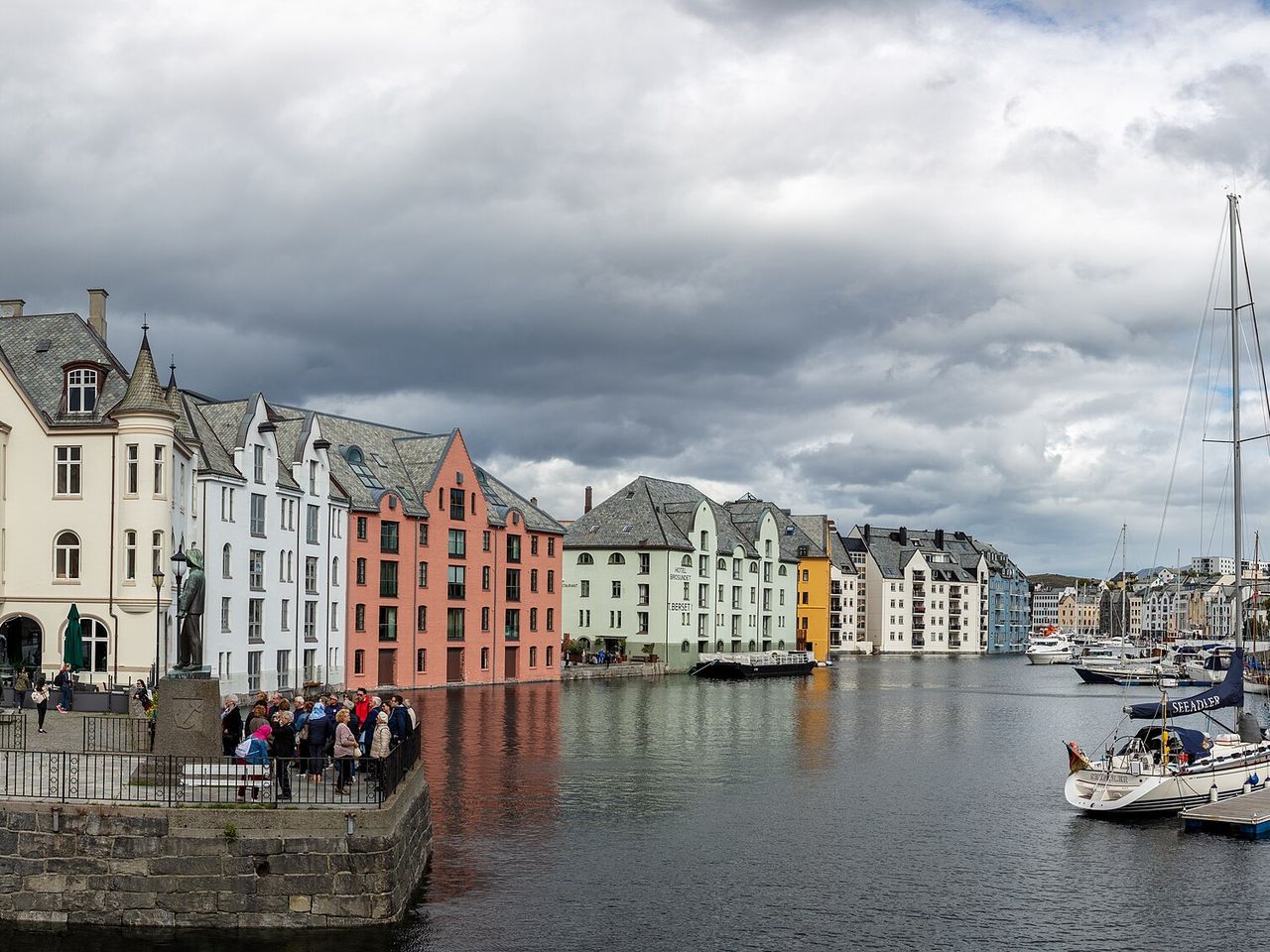
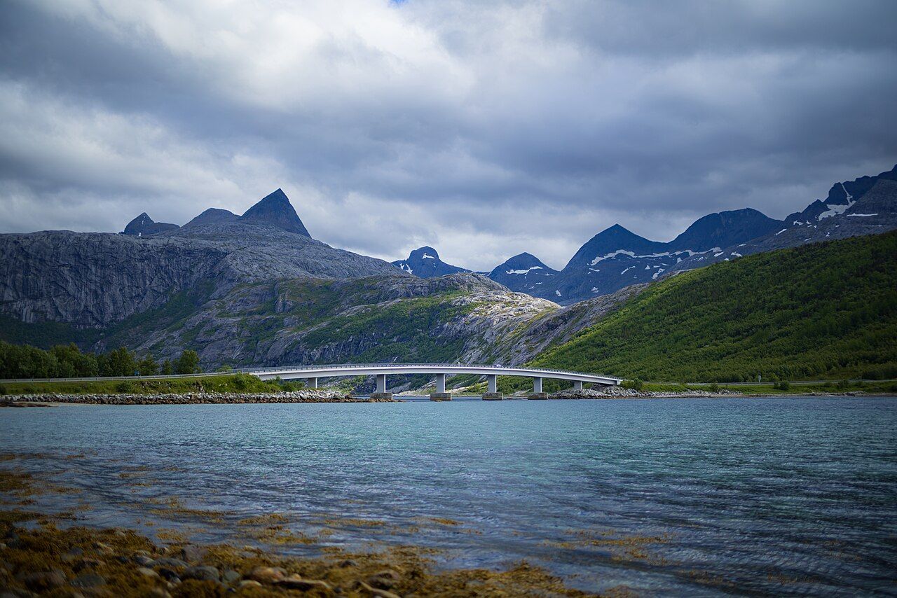
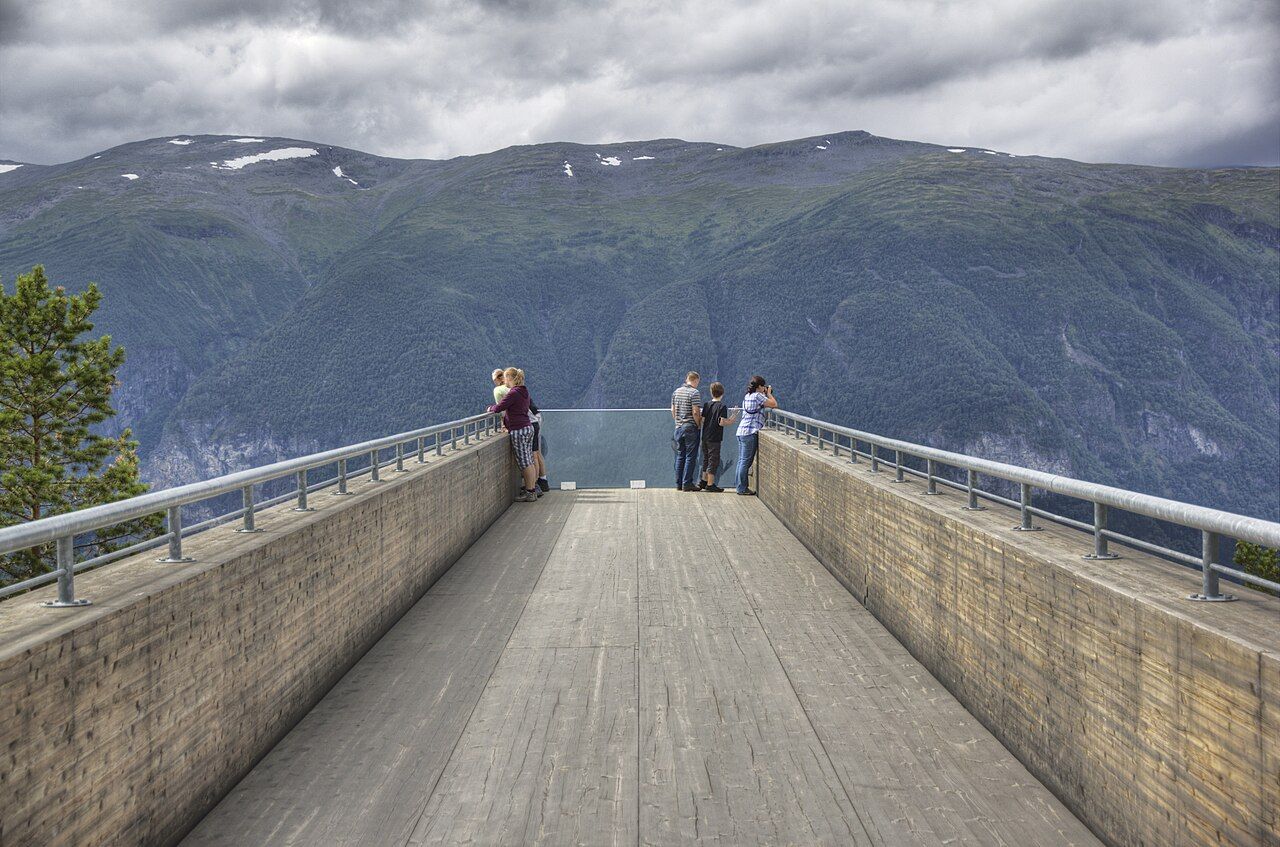
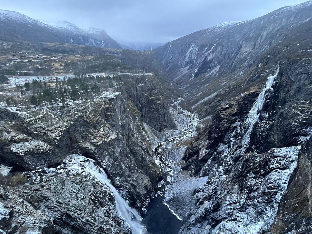
Tell it where you are staying and when. It lays your places out across the days you have.
Drag places between days and the driving time adds up. If a day runs past the evening, it says so.
Or start from a ready-made route
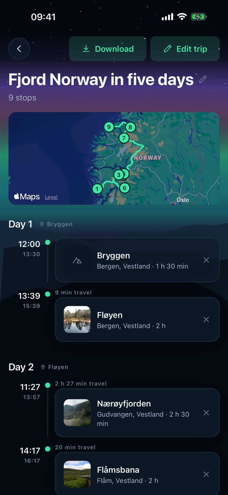
Ask a local, the AI feature, needs a connection, and the app says so before you tap it. With Pro you can download a trip, so its photos work without a signal too.
AI, not a person. It answers from the places in the app, in your language, and needs a connection.
What to do in Bergen when it rains?
Is Lofoten worth it in February?
It needs a connection. For weather and avalanche conditions it points you to yr.no and varsom.no instead of guessing, and it does not give safety advice.
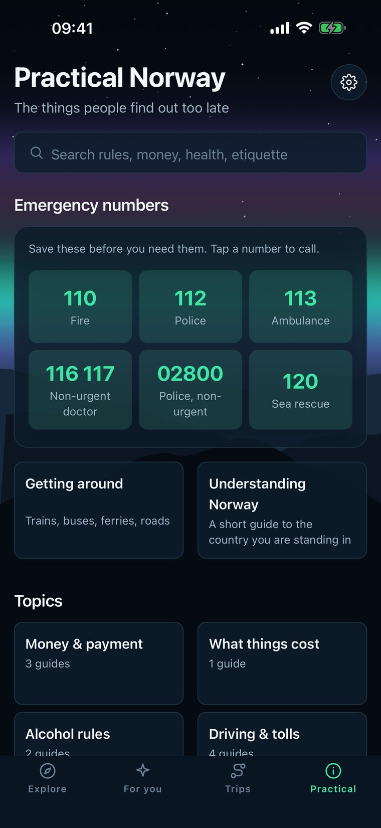
23 practical guides: money and card payment, tolls, winter driving, the weather as the real danger, dressing for a Norwegian winter, the gear that matters, alcohol rules, healthcare and more.
Norway's emergency numbers. In the app the list is there even without a signal.
A web search needs a signal.
The guidebook in Vegvisir does not.
A straight line on a map is wrong in Norway.
Vegvisir uses 16,686 routes measured on real roads.
A paper guide cannot plan your days.
Vegvisir lays your places out across them and adds up the driving.
A search result can come from anywhere.
Ask a local answers from the places in the app.
No trial and no countdown. Pro is one purchase, not a subscription, for the tools around the guidebook.
The whole guidebook.
One purchase, not a subscription.
Your trips stay on your phone. Read the privacy policy.
330 places, real driving times and a trip planner that keep working when the signal does not.
Coming soon to the App StoreiPhone and iPad. The guidebook is free, and Pro is one purchase, not a subscription. English, Norwegian, German and Chinese.
If you run a café, a museum or another place visitors should know about, tell us about it. Send the name, where it is and a link. If you spot something wrong in the guidebook, we want to hear that too.
Driver du et sted i Norge som reisende bør vite om? Send oss navn, hvor det ligger og en lenke. Ser du en feil i guideboka, vil vi gjerne høre det også.
contact@olmo-technologies.comEvery place in Vegvisir is chosen and written by us. We check the facts against maps and official sources before anything goes in, and the text is our own.
We do not list named tour operators.
Not every suggestion ends up in the guidebook.


_01_front.jpg)
.jpg)
.jpg)
.jpeg)
.jpg)


.jpg)